Baranof Island likely has the highest density brown bear population in the world and the highest island-based peak in the US outside of the Aleutians and Hawaii. It’s 100 miles long by 30 wide, has 14 miles of roads, and is home to 9,000 people.
 |
| Baranof island: nary a flat spot! |
 |
Most of the accessible valleys in southeast Alaska were clearcut long ago. I followed an old road now washed out, with a narrow game trail weaving through young trees, passing stumps of giants turned furniture, decking, and musical instruments. |
Ever since I learned I might end up in Sitka for part of the summer, I thought of crossing the island lengthwise. It’d be around 120 miles with 120,000 ft. elevation change—a ridge traverse with miles of glaciers clinging to the sides of rocky peaks (lots of class IV and V scrambling) with rainforests below.
 |
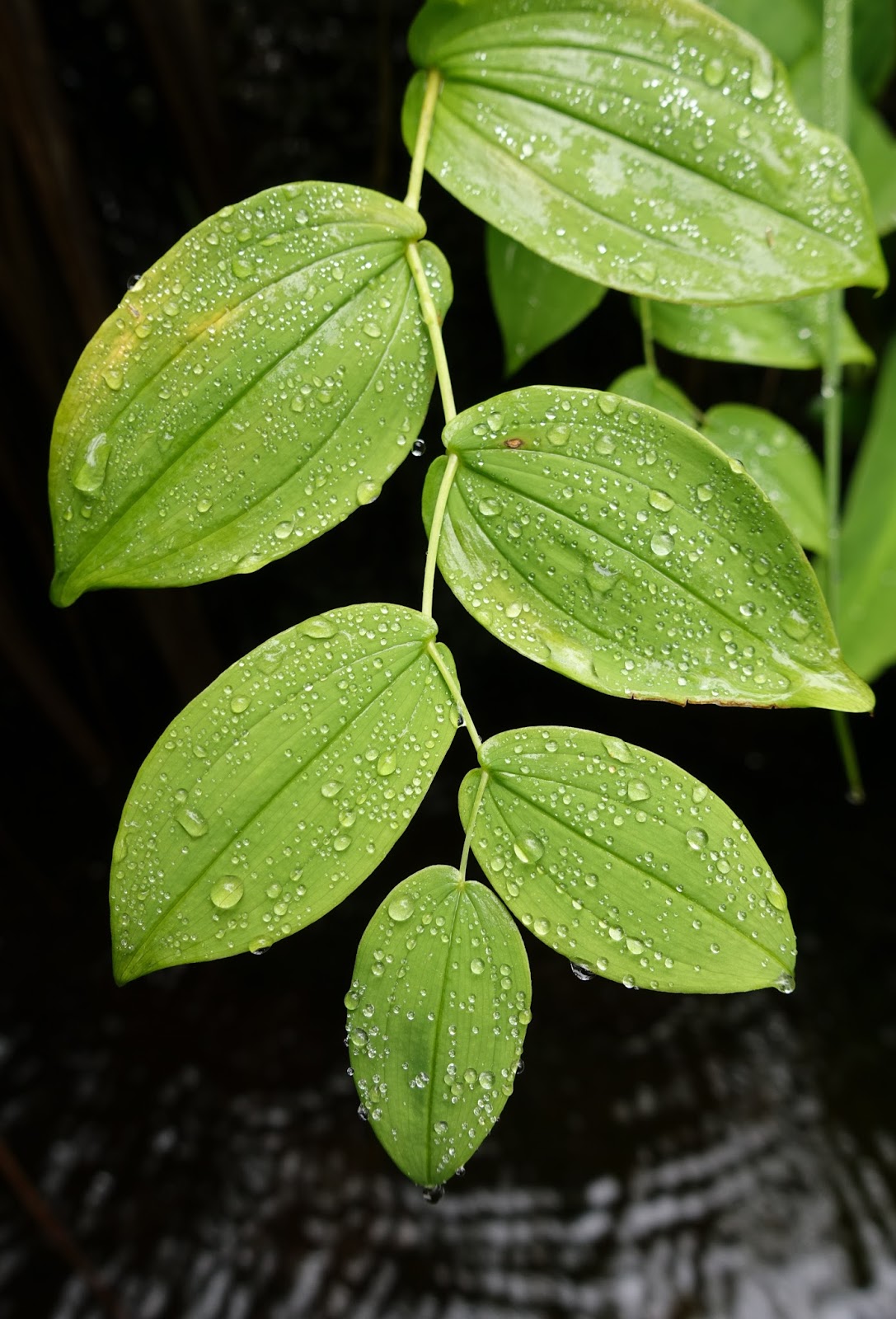
There’s nothing I love more than kneeling down to drink out of seeps, creeks, and puddles. All the better when these beauties guard the pool.
|
I guessed it’d be the hardest hiking trip I’ve ever attempted. Though more mentally and physically challenging, going alone was something I wanted, in part because the longest solo backcountry trip I’ve done was three days.
 |
| Water taxi with Captain Xander! |
PrepI talked with all of the people who have done significant backcountry trips here. All three of them. I learned that no one has come close to traversing the island lengthwise in one go. One party has hiked from Sitka to Port Alexander in 21 nights over four summers. One in that party, Dan Evans, told me this would be the worst possible time—earlier is better because there’s more snow and the brush (salmon berries, grasses, devil’s club) isn’t 10 ft tall. Mike MacFerrin made a wonderfully squiggly route from Sitka to Port Alexander, paddling perhaps 75% in a packraft, over 18 days. Steve Reifesntuhl, the most experienced wilderness traveler in Sitka, with decades of impressive ultra-endurance feats under his belt and unsurpassed local knowledge, confirmed my suspicion that it’d be best to stay high as much as possible.
 |
When it’s not raining, the clouds are so dense it’s effectively raining. This is not a grassland, but the top of a 3,000 ft grass mountain. |
I was really intimidated. Partly because no one had done it before, partly because I knew it’d be really hard for me, and partly because there was a lot of unknown technical terrain, and notoriously bad weather.
 |
I went to a deep, dark, cold, murky pool that was labeled “hot springs” on the topo. That evening, several miles away, I dipped my cook pot into the pond behind the tarp and found it to be a pleasant 66 degrees when the air temp was 50! Then I cooked dinner with it. |
 |
I had no idea what the ridges might bring and couldn’t see ahead pick a route. Here’s one sharp section. Sometimes it’s nice not knowing what’s below. |
I looked at topos for a long time, guessed which ridges might be easier, and packed up food. I set off intending to try the northern section of the island and keep going if the going was good.
 |
The infamous Baranof Island cloud dragon. It can be bluebird above 4,000 ft. and raining below. |
OffI spent a day walking the docks at all of the harbors trying to catch a ride with fishermen—they, being experts of the maritime environ, were filled with preposterous bear stories and gun recommendations—before getting a “good guy discount” (perhaps $400 off) for the 3 hour trip to the north side of the island. We saw a few whales, 20 some otters, and too many eagles as we cut through the dense fog. I was all giddy with excitement and uncertainty.
 |
| Up to about 2,000 ft., the island is covered in high bush blueberries. |
 |
I was trying to reframe the rain, fog, where am I!? as a patient process of discovery. |
 |
Eventually, I entered the island’s most technical 20 miles of ridgeline and chose to bail because of the solid week of rain in the forecast. Continuing would have been a fantastic mountaineering experience (along a ridge that no one has likely traveled), but to do it safely and enjoyably, I’d need decent weather. Having a partner and a rope would be nice, too. |
 |
Generations of bear follow in each other’s footsteps, especially along the low ridges. Occasionally, I’d follow for fun. |
I made it 17 miles by 11 PM the third night, through the most challenging and scary bushwhacking and vegetated downclimbing of my life. It took two hours to descend about 500 ft, which was so unpleasant I don't want to talk about it.
In total, I covered 37 miles with 19,000 ft elevation gain over three days—roughly equivalent to a third of the island. I was plum exhausted.
 |
| This is one of the peaks I scrambled over with zero visibility. In the morning, I got a 20-minute glimpse of it. |
I learned:
- It’s critically important to stay on the ridge
- It’s orders or magnitude harder and less fun when you can’t see more than a few hundred feet
- This place is SO WET and cloudy
- Temperate rainforests continue to be my favorite forest. Their immense quiet and luscious greenery are unparalleled
Might I try it again?Perhaps if someone else was interested in joining me.


0 comments:
Post a Comment